Integrating Excel with Maps and Earth
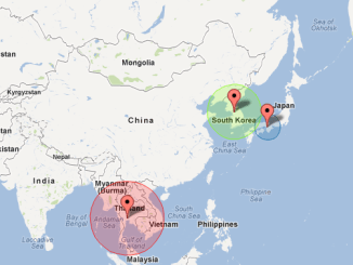
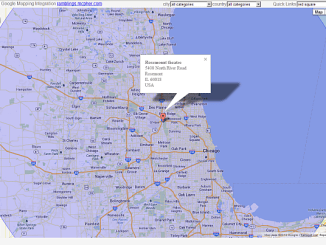
Zooming and Bounds
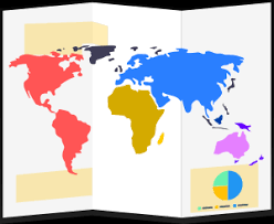
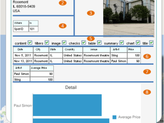
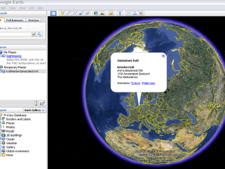
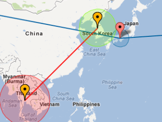
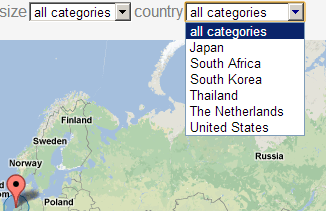
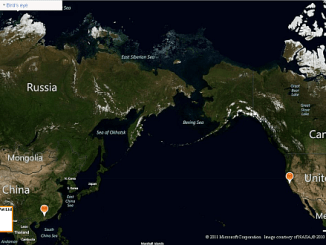
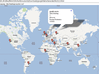
When you click on an infobox, use a quicklink or select a category on a generated map the zoom level will change (if you have enabled it in your excel parameters.). Click on an infobox or use a quicklink Here […]